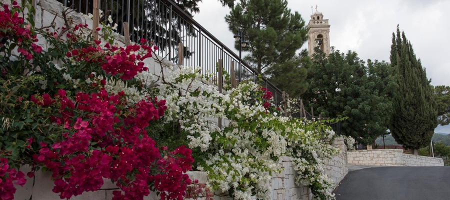
This excursion goes through the eastern villages of the Lemesos (Limassol) district as well as some of the mountain villages in the foothills of the Pitsylia region, such as Agros. You can also go down towards Palaichori along theroutes of the Lefkosia (Nicosia) district. The route heads north starting at the Germasogeia roundabout. It climbs through the village, goes past the Germasogeia dam and the villages of Akrounta, Dierona and Arakapas.
At Arakapas, the route turns west and continues climbing steadily to the village of Kalo Chorio where it meets the Lemesos – Pitsylia road. Heading in the direction of Lemesos, a short distance down the road and to the right, is the dirt road that leads to Agios Mamas. From Agios Mamas the route begins to descend along a paved road passing through the villages of Kapileio and Korfi to reach the roundabout of Polemidia on the outskirts of Lemesos.
Difficulty rate: Average.It requires a road bike with at least 20 speeds.
Road condition: Entirely paved roads.
To download the route in gpx format click here
| Distance: | 65.9km |
| Elevation Gain: | 2007m |
| Highest point: | 729m |
| Lowest point: | 7m |
| Loop: | NO |
| Terrain: | Mountain |
| Road surface: | Paved |
| Section Distance (km) | Total Distance (km) | |
| Germasogeia Tourist Area | 0,0 | 0,0 |
| Germasogeia | 3,0 | 3,0 |
| Germasogeia Dam | 3,6 | 6,6 |
| Akrounta | 1,7 | 8,3 |
| Dierona | 15,6 | 23,9 |
| Arakapas | 2,3 | 26,2 |
| Kalo Chorio | 9,5 | 35,7 |
| Agios Mamas | 8,4 | 44,1 |
| Kapileio | 3,1 | 47,2 |
| Korfi | 5,4 | 52,6 |
| Paramytha | 4,6 | 57,2 |
| Polemidia | 8,7 | 65,9 |

