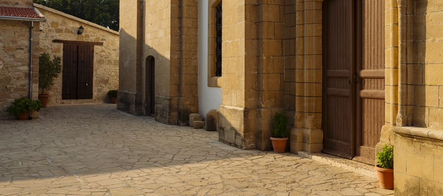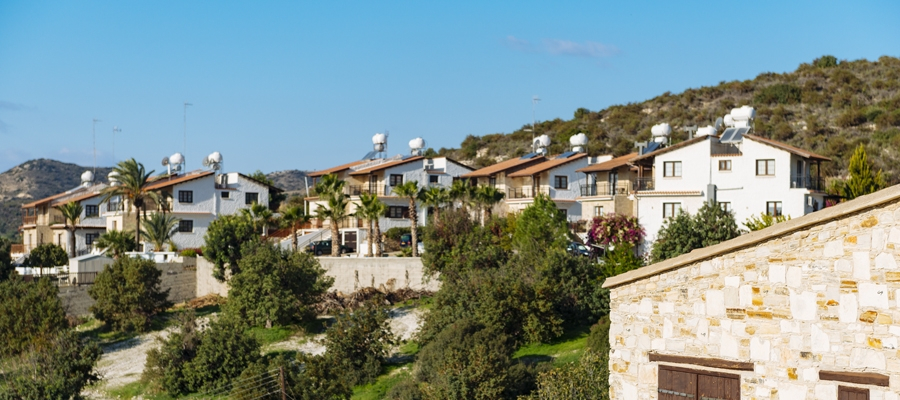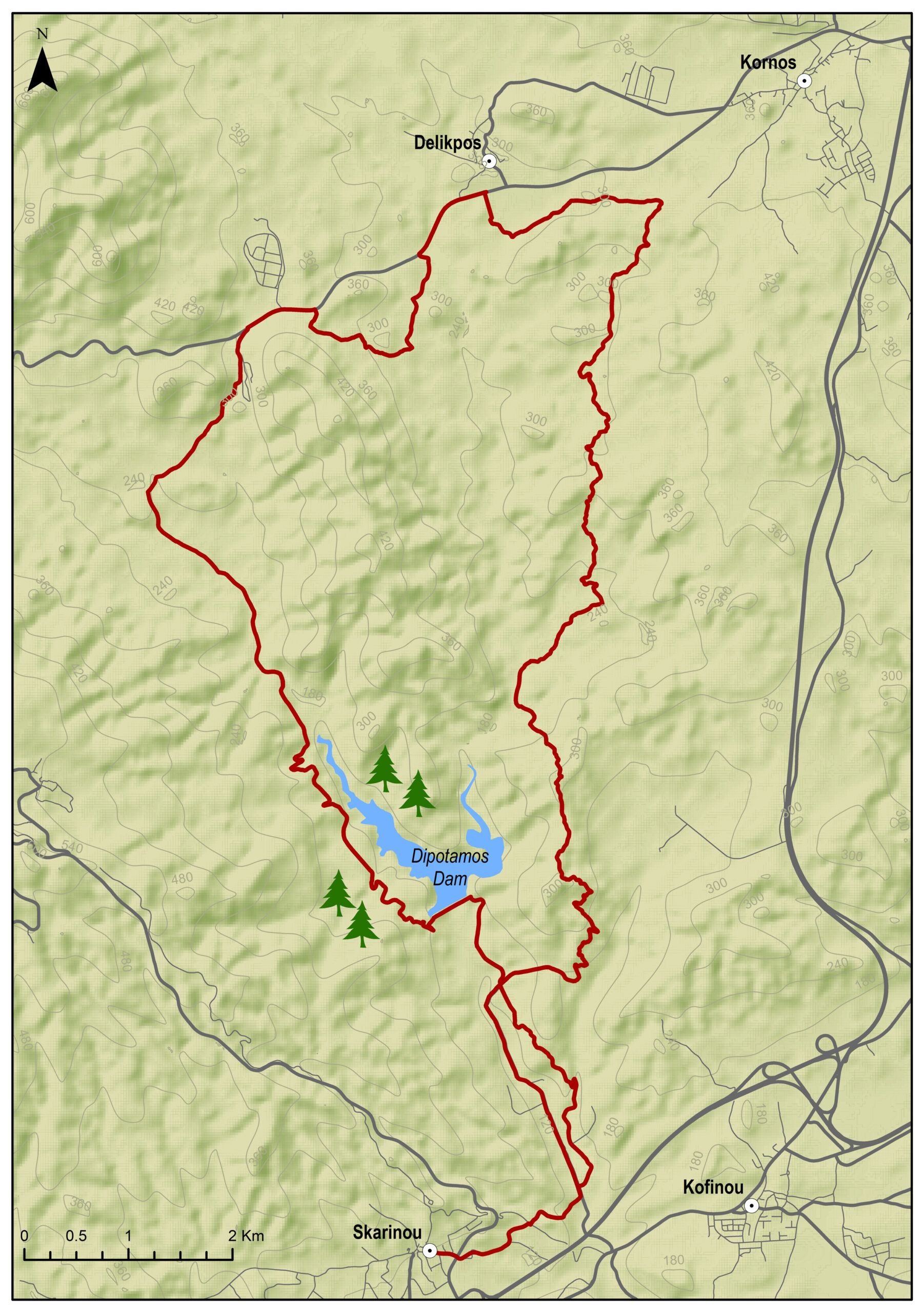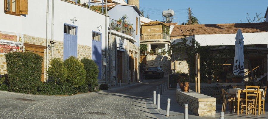
The route starts from beautiful Tochni and heads towards Kalavasos. At a short distance from Kalavasos lies the Tenta Neolithic Settlement dating back to 7000 BC. It is one of the most important Neolithic Settlements on the island and is sheltered by a distinctive cone-shaped roof, which is a contemporary architectural intervention in the landscape. Subsequently, the route ascends and descends again towards the Kalavasos Reservoir and then passes through Kalavasos again before ending in Tochni.
To download the route in gpx format click here
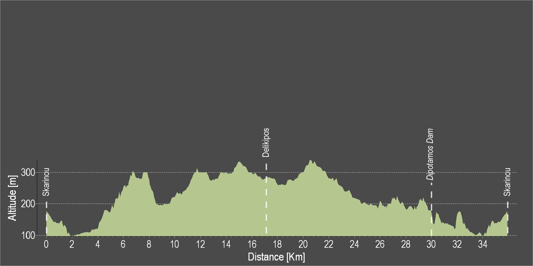
| Distance: | 33.8km |
| Elevation Gain: | 779m |
| Highest point: | 402m |
| Lowest point: | 66m |
| Loop: | YES |
| Terrain: | Mixed |
| Section Distance (km) | Total Distance (km) | |
| Tochni | 0.0 | 0.0 |
| Kalavasos | 7.9 | 7.9 |
| Kalavasos Dam | 12.9 | 20.8 |
| Kalavasos | 7.4 | 28.2 |
| Tochni | 5.6 | 33.8 |