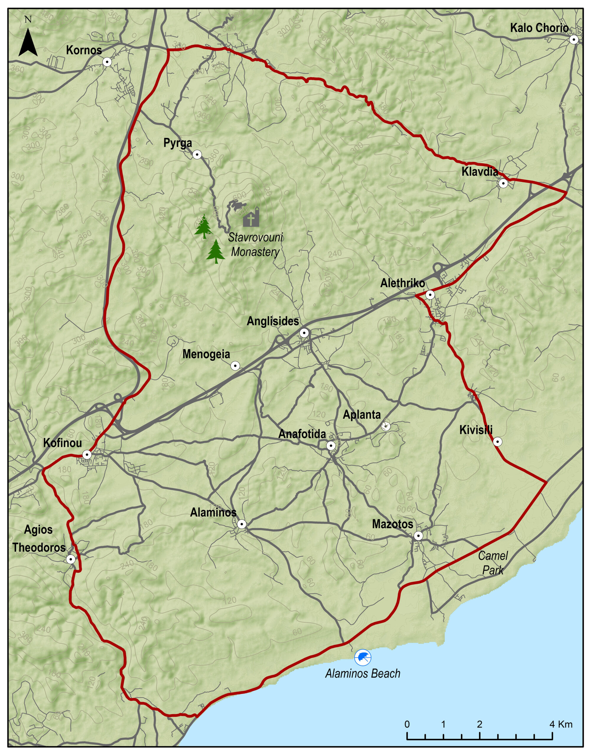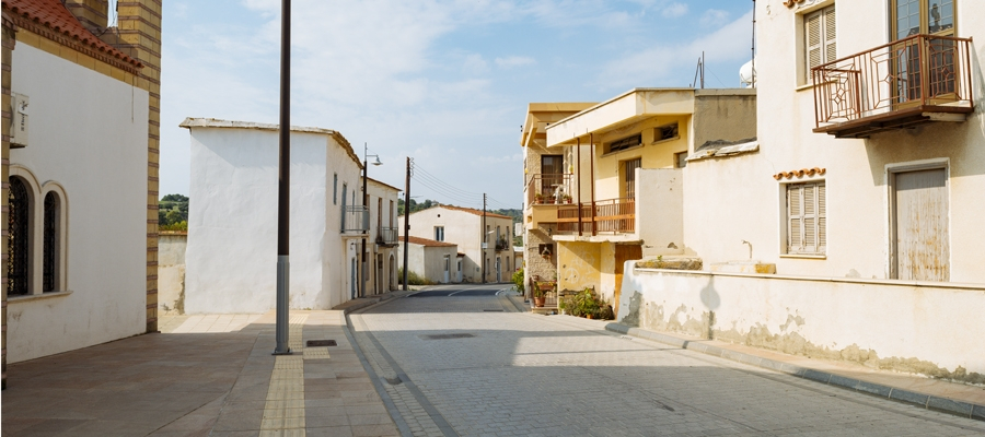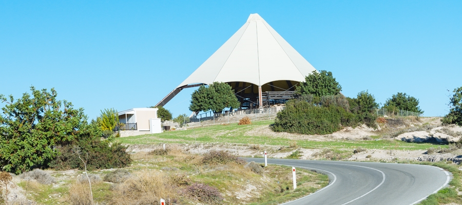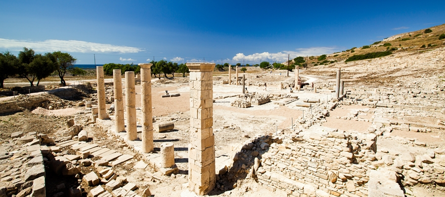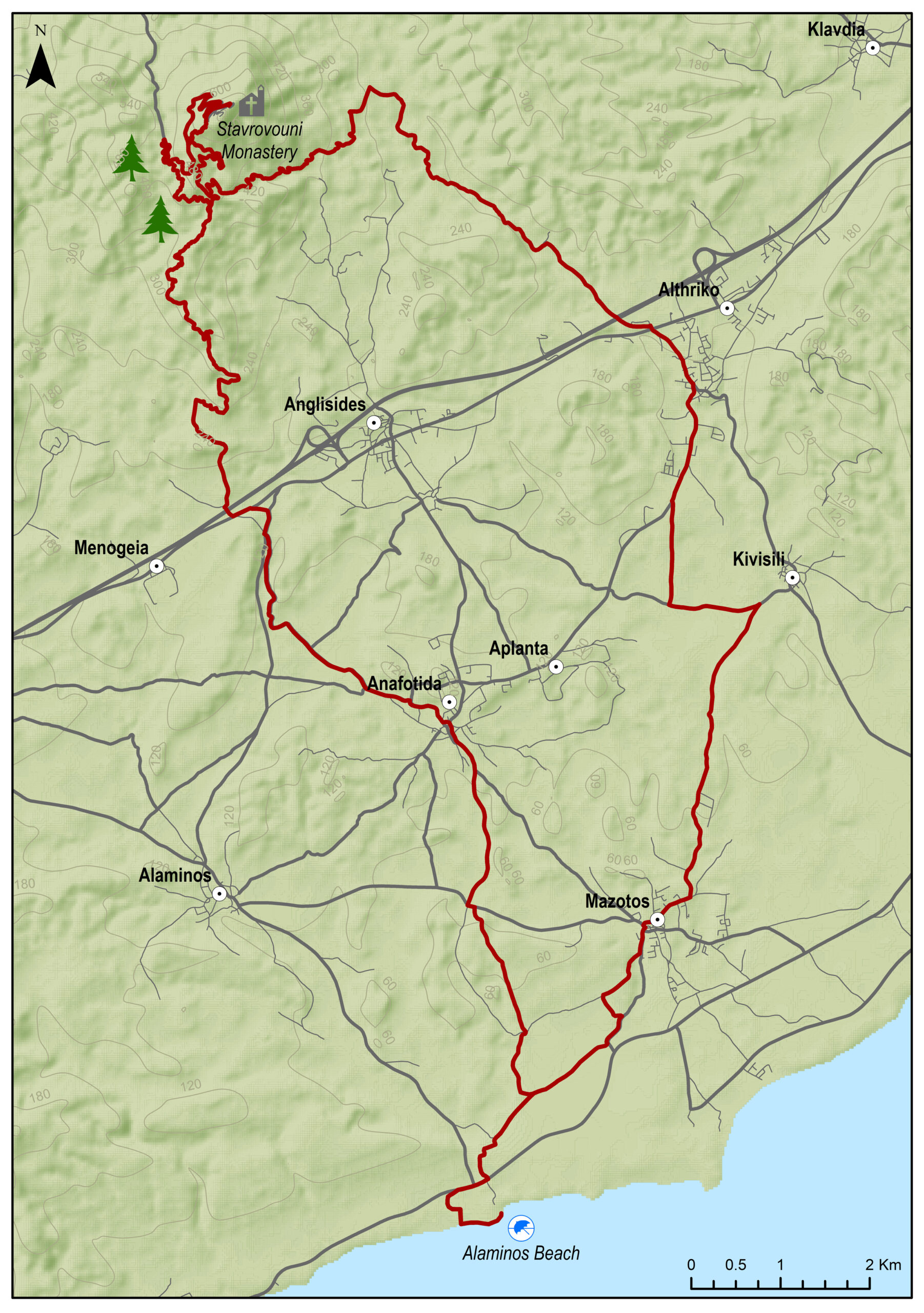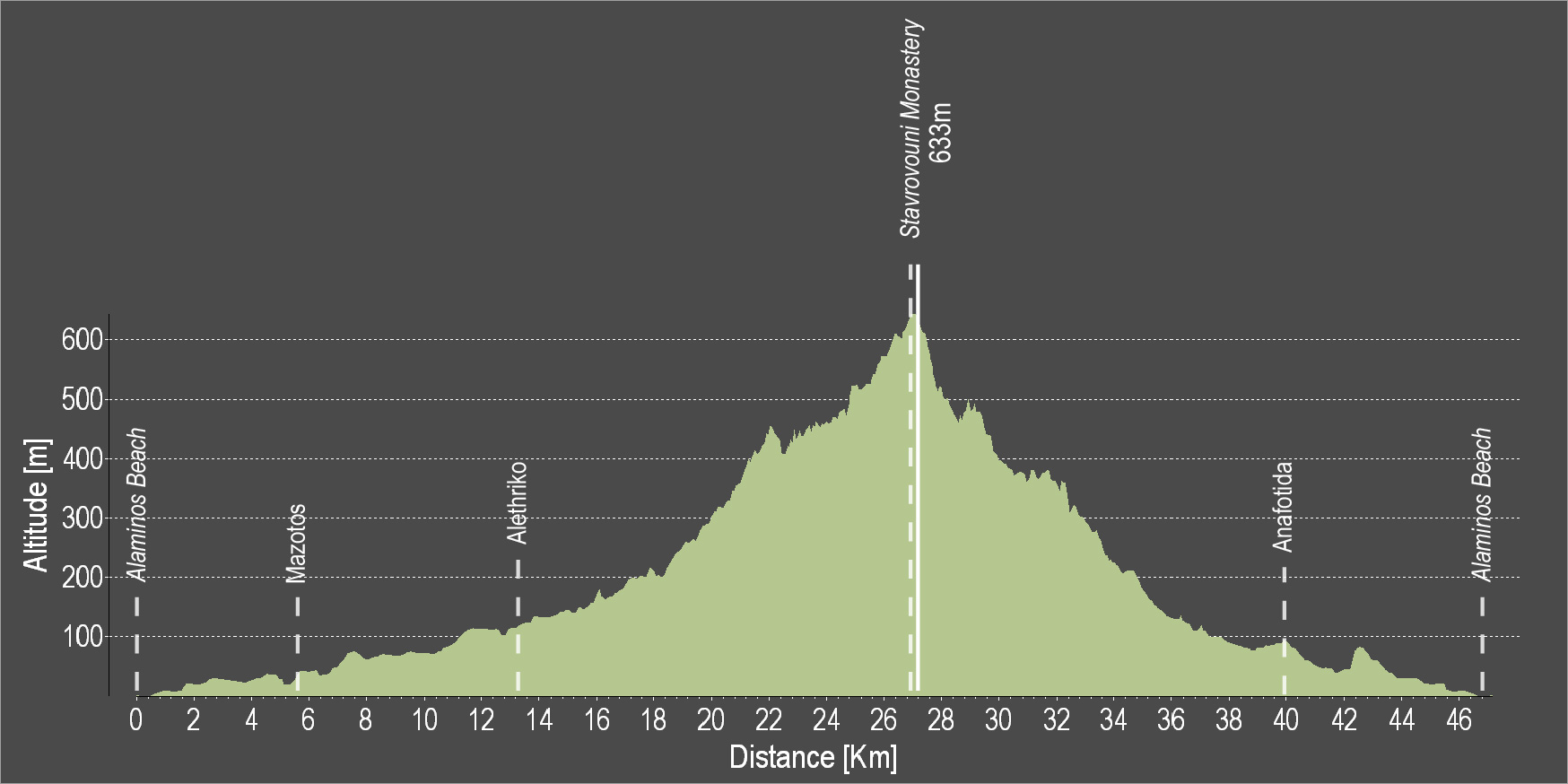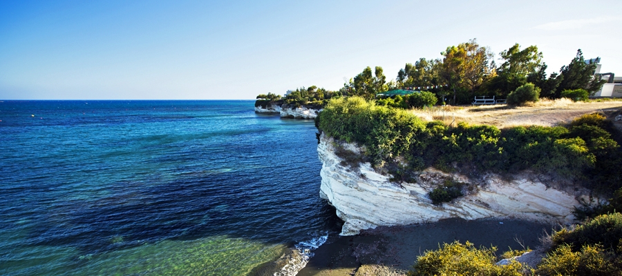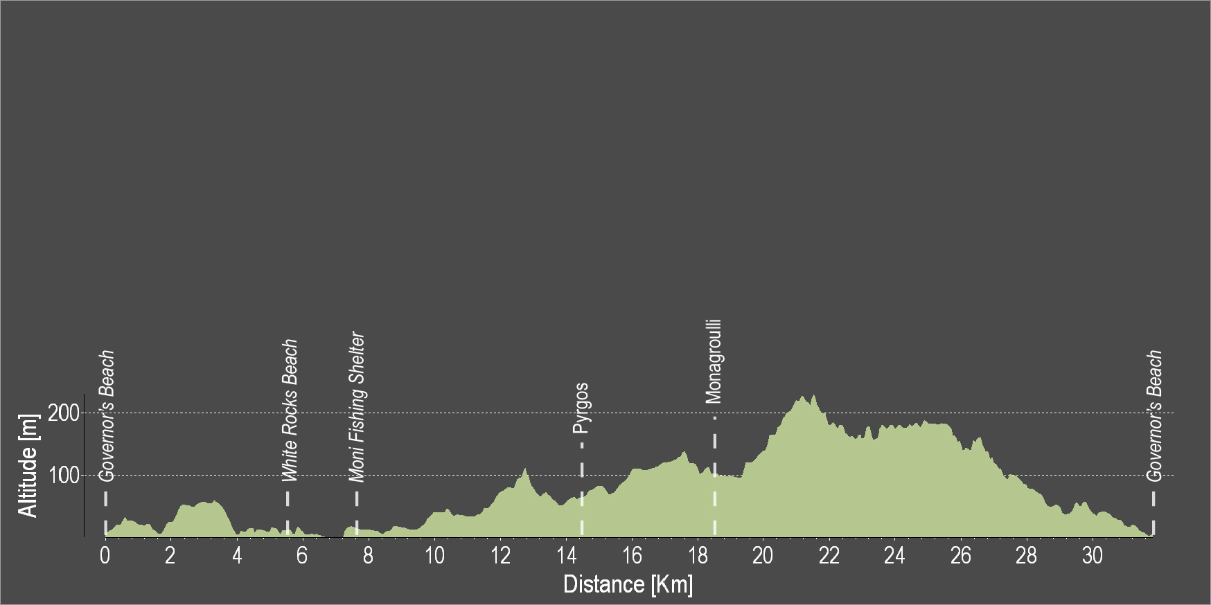
The route starts off at Alaminos beach and gradually ascends while passing through the villages of Mazotos, Alethriko, Klavdia and Pyrga and then circles back downhill towards Kofinou and the beautiful village of Agios Theodoros to reach Alaminos beach.
To download the route in gpx format click here
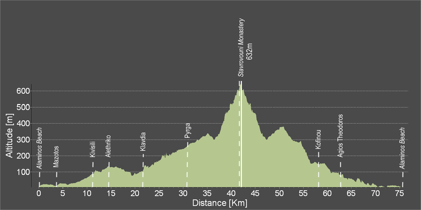
| Distance: | 60.9km |
| Elevation Gain: | 491m |
| Highest point: | 376m |
| Lowest point: | 6m |
| Loop: | YES |
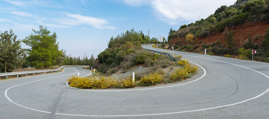
| Terrain: | Mixed |
| Road surface: | Paved |
| Section Distance (km) | Total Distance (km) | |
| Alaminos Beach | 0.0 | 0.0 |
| Mazotos | 3.8 | 3.8 |
| Kivisili | 7.1 | 10.9 |
| Alethriko | 2.7 | 13.6 |
| Klavdia | 7.7 | 21.3 |
| Pyrga | 9.9 | 31.2 |
| Kofinou | 13.7 | 44.9 |
| Agios Theodoros | 4.3 | 49.2 |
| Alaminos Beach | 11.7 | 60.9 |