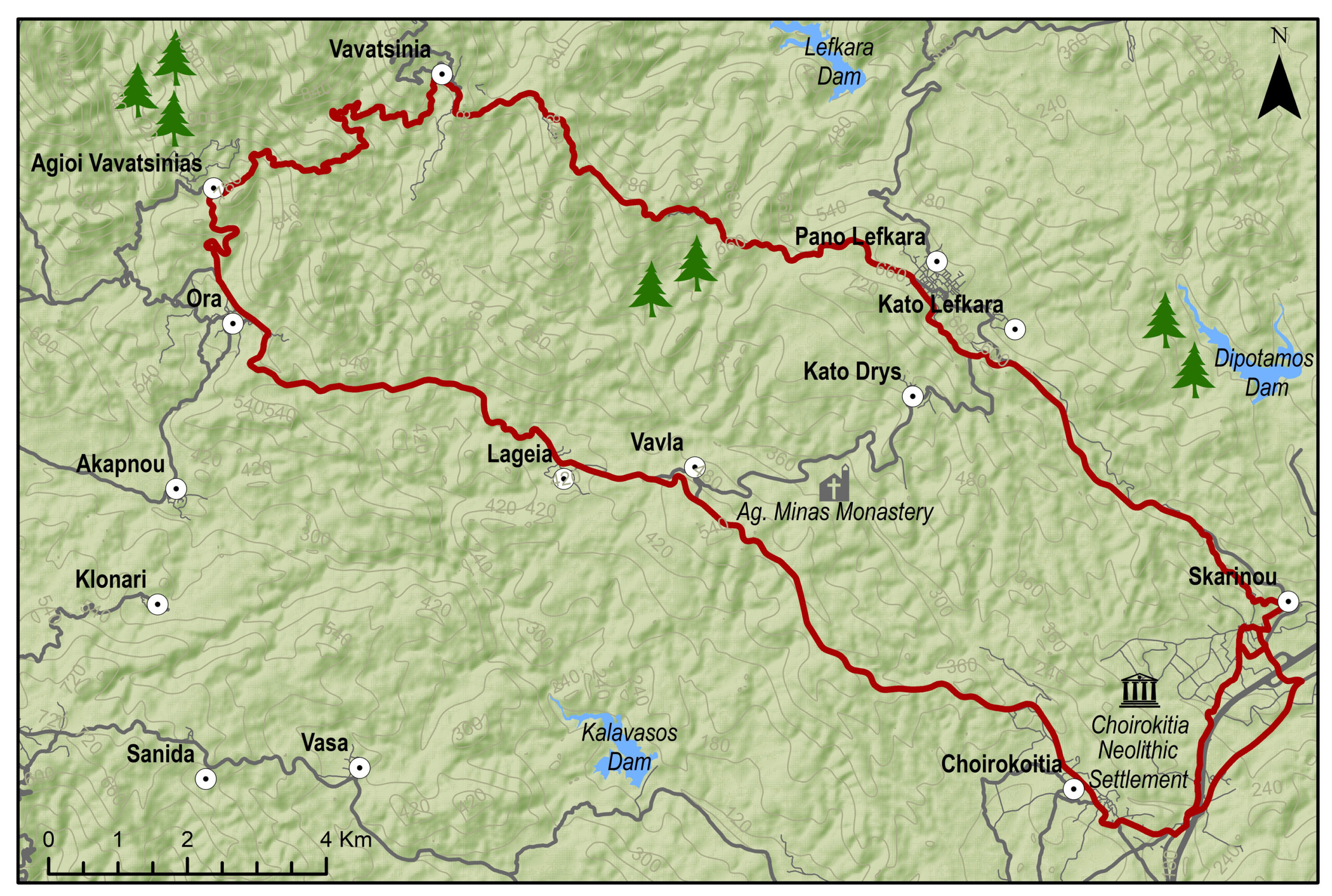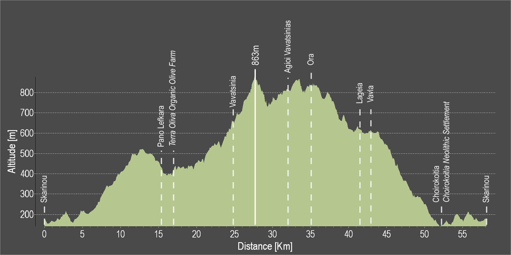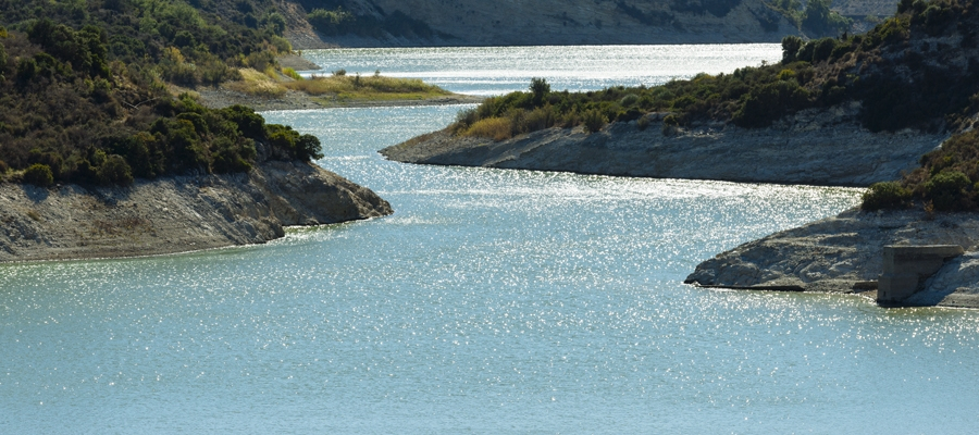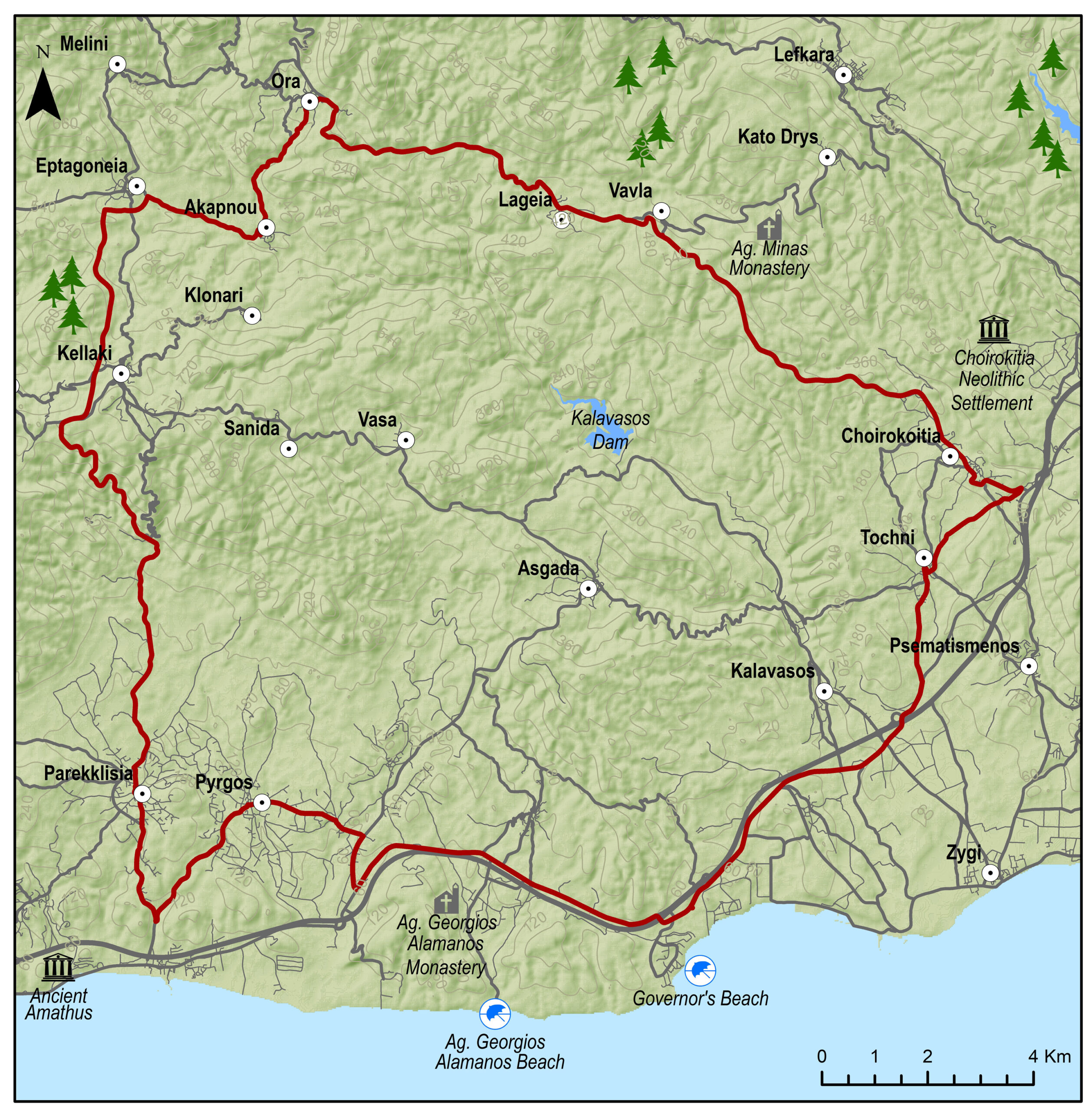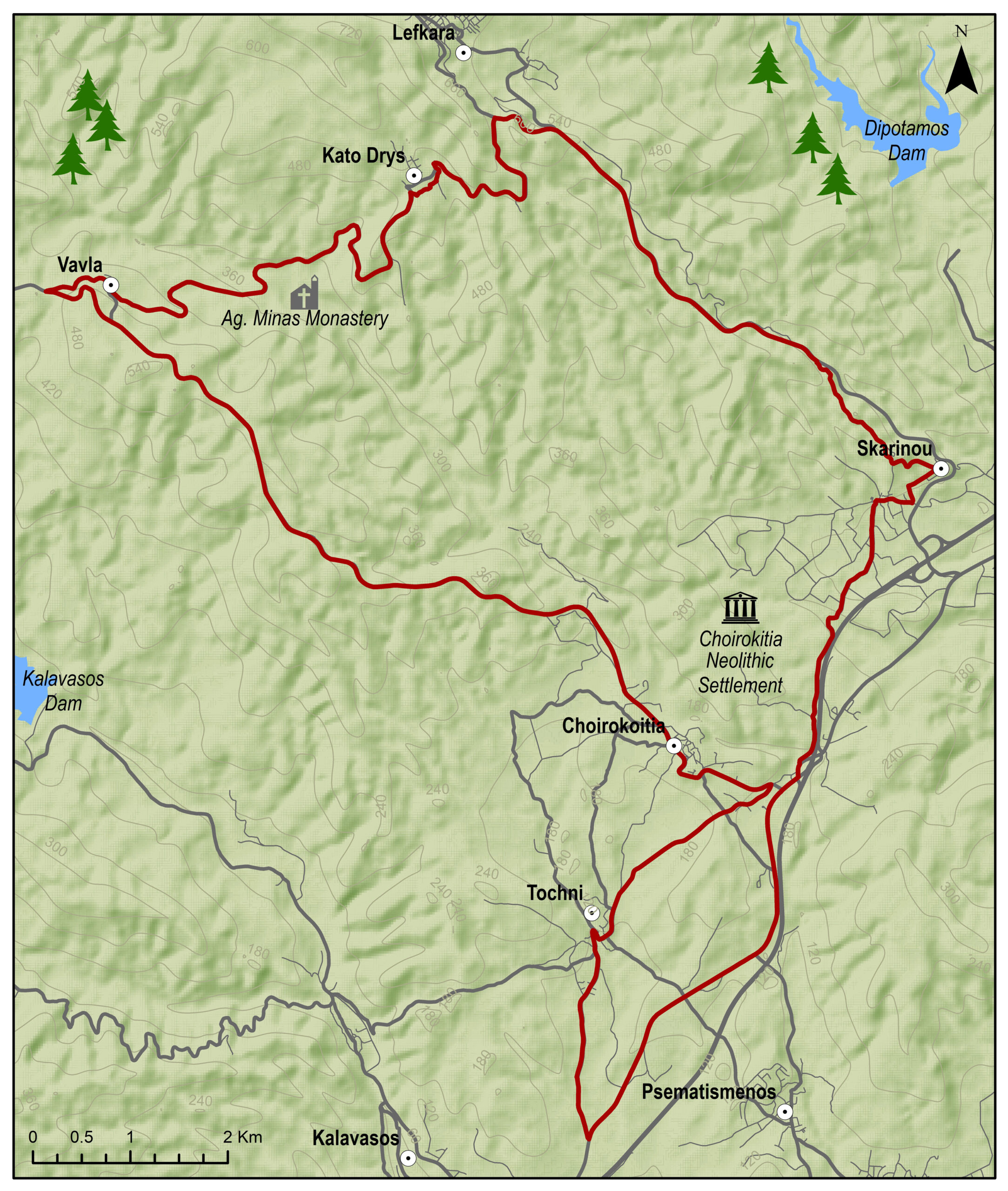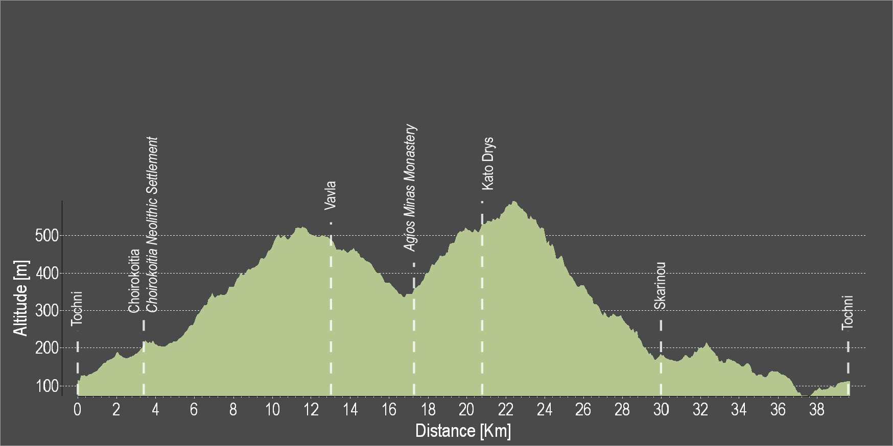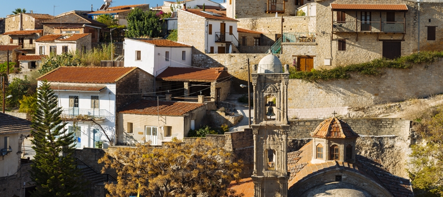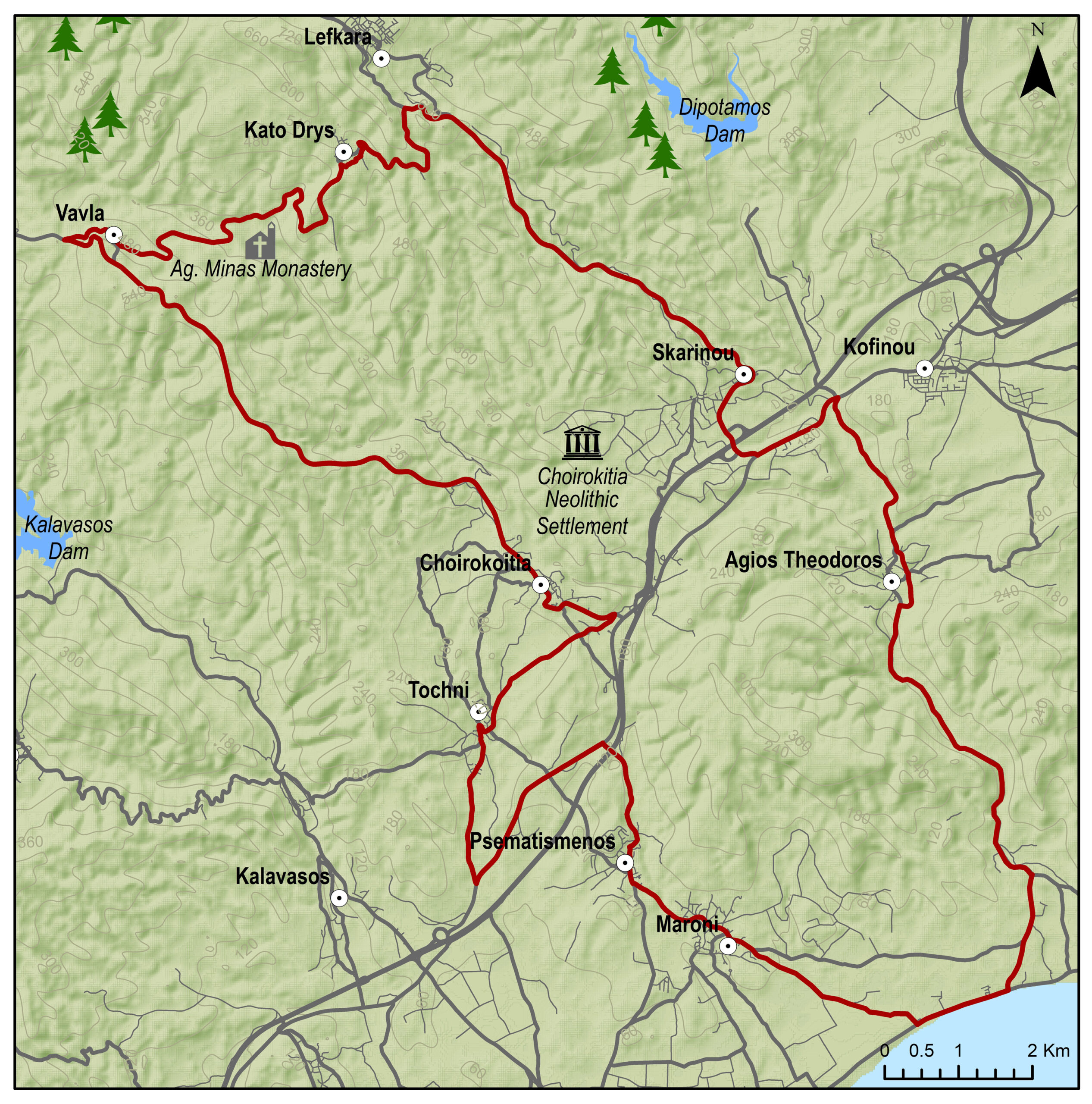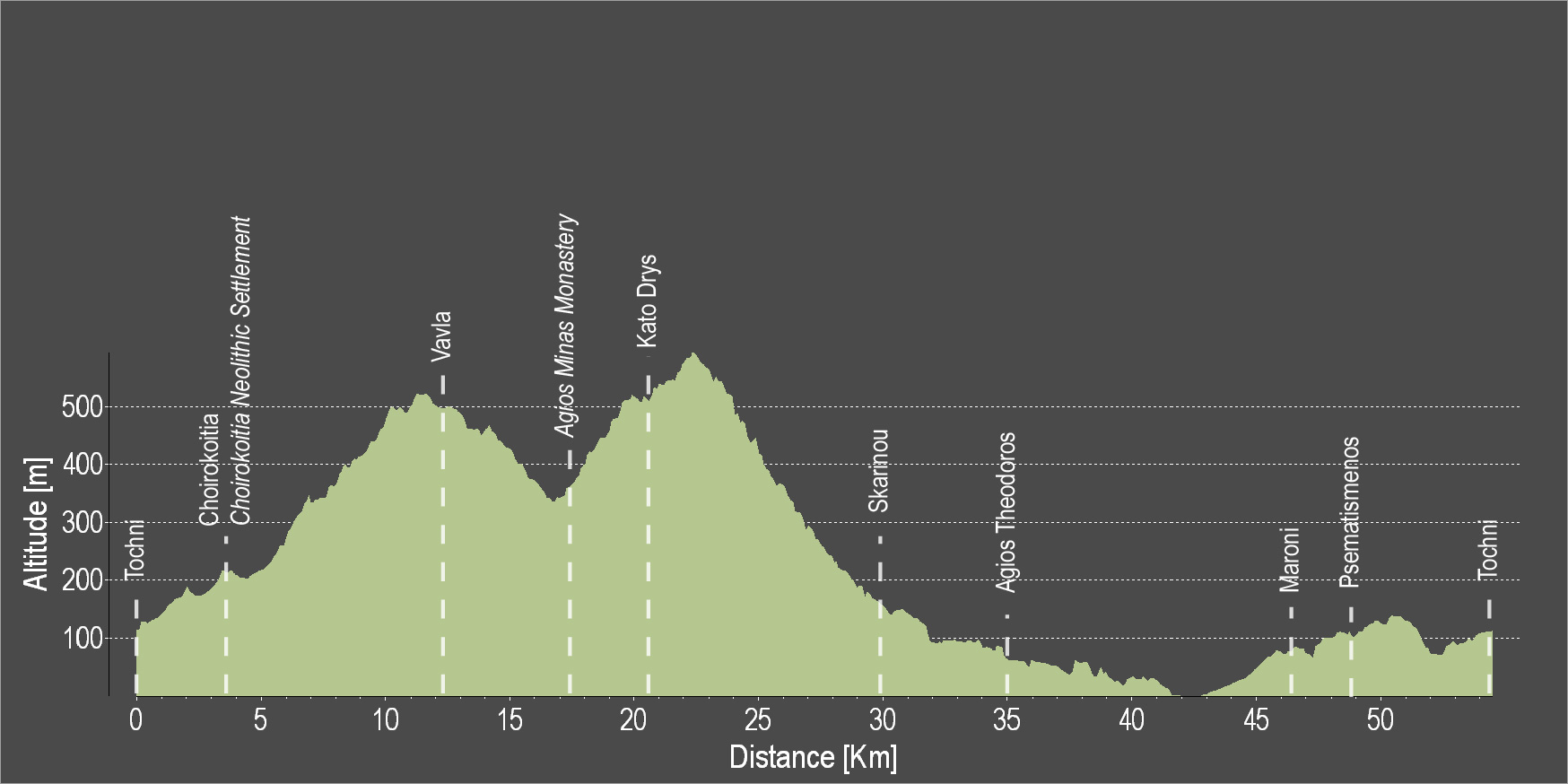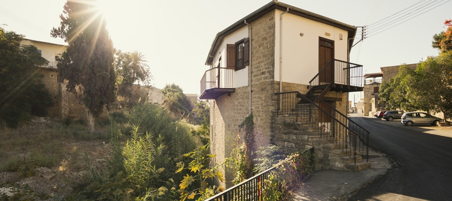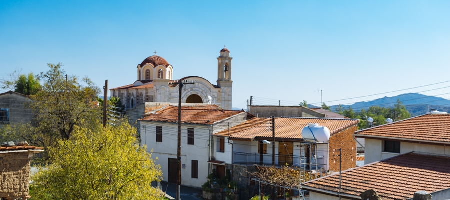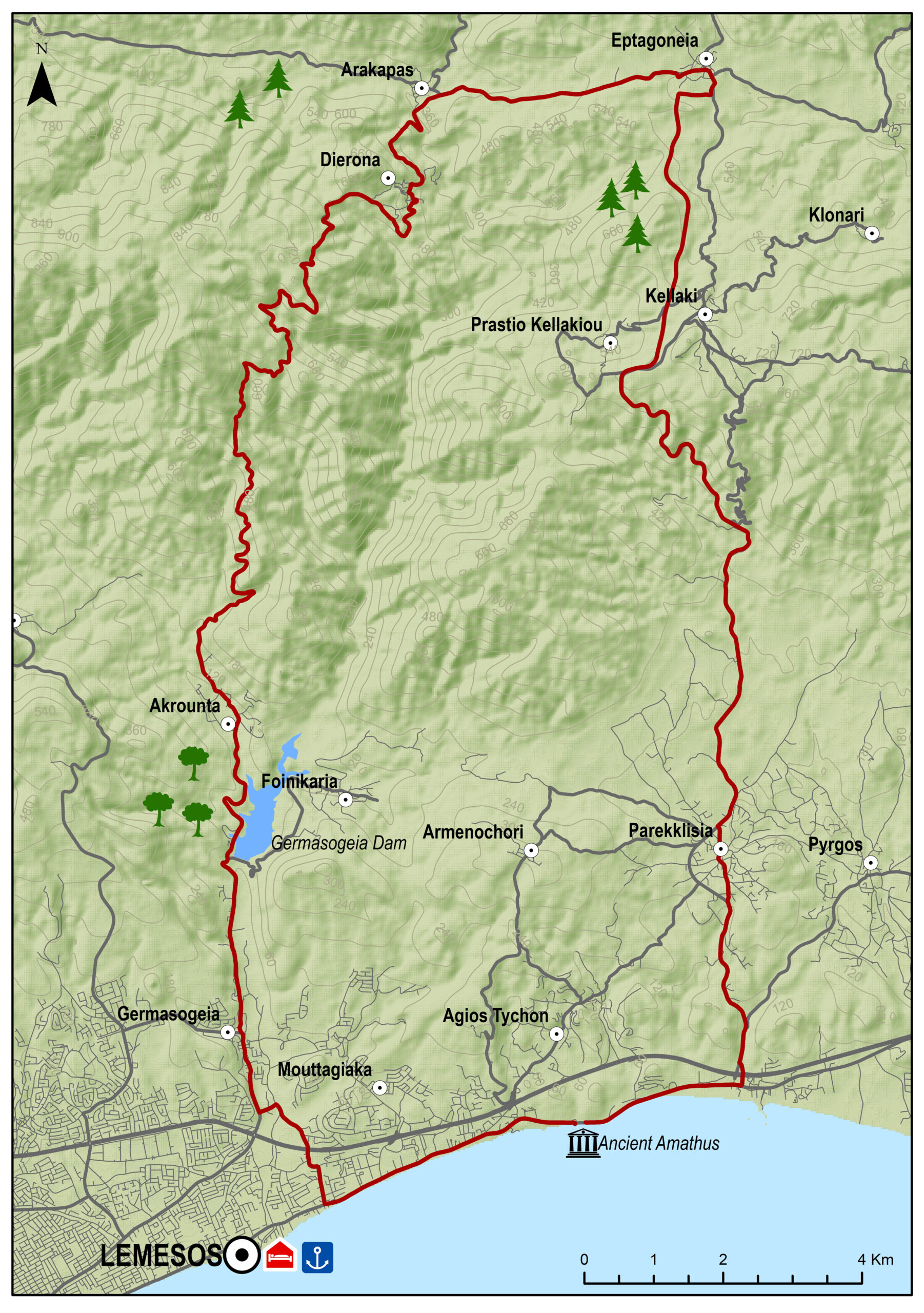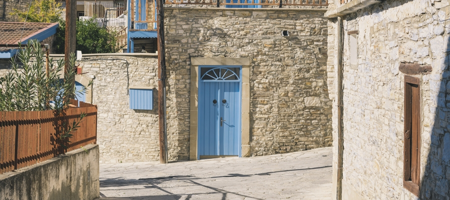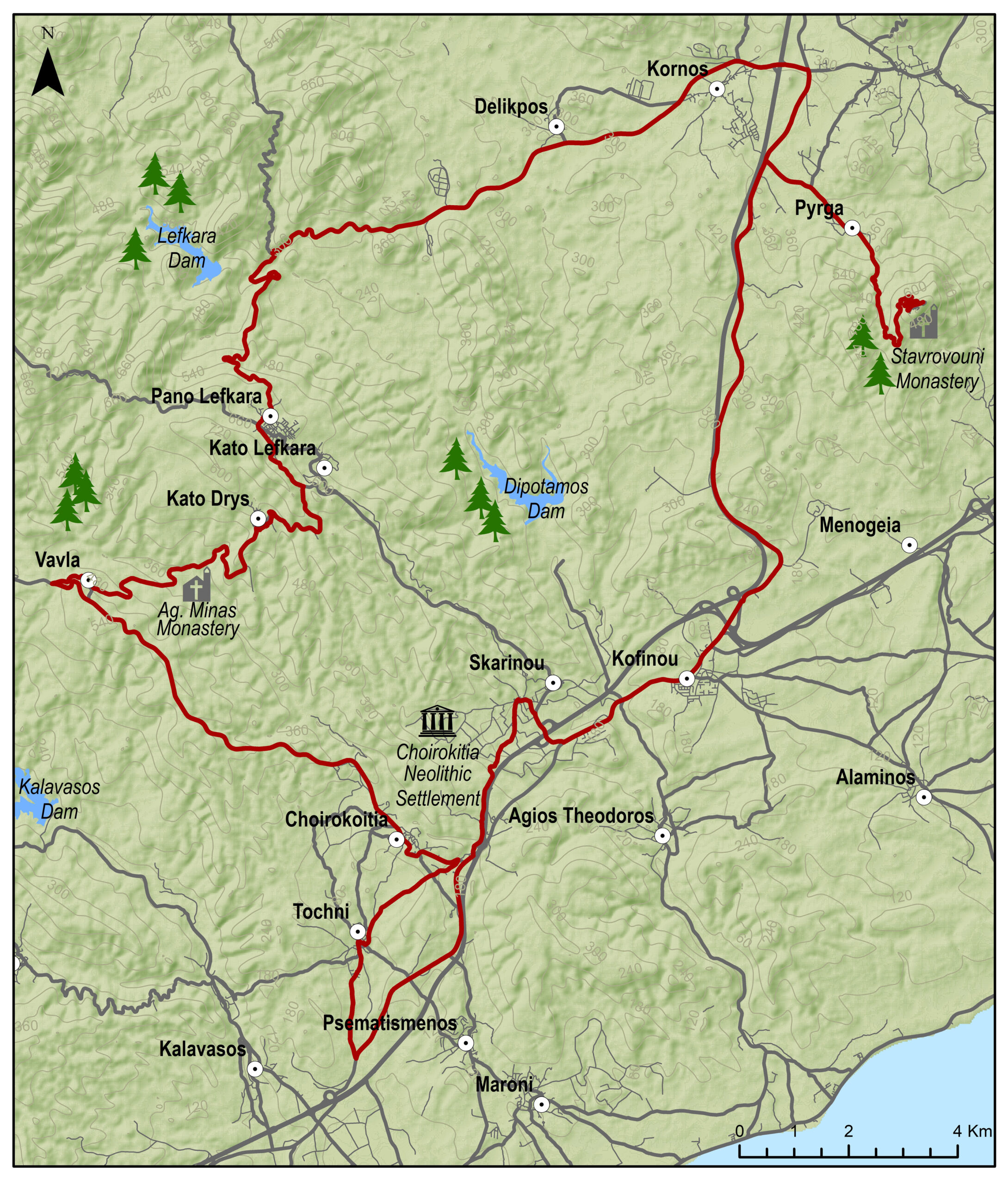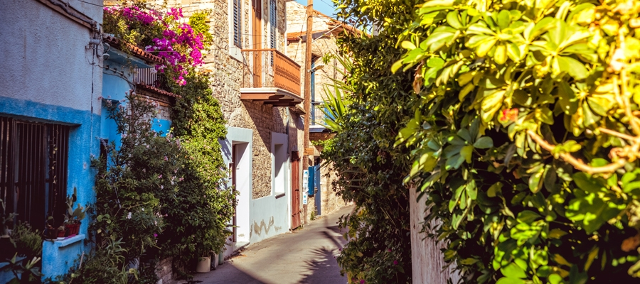
The route starts from the village of Skarinou and ascends to the village of Lefkara, known for its traditional embroidered lace and silver wire crafts. Just outside the village, you can visit the organic olive grove before continuing to the picturesque Vavatsinia and to Agioi Vavatsinias. Continue onward for Ora, Lageia, Vavla and ride downhill to Choirokoitia where the Neolithic Settlement of Choirokoitia is located, which has been listed as a UNESCO World Heritage Site since 1998. The route ends at the starting point in Skarinou.
To download the route in gpx format click here
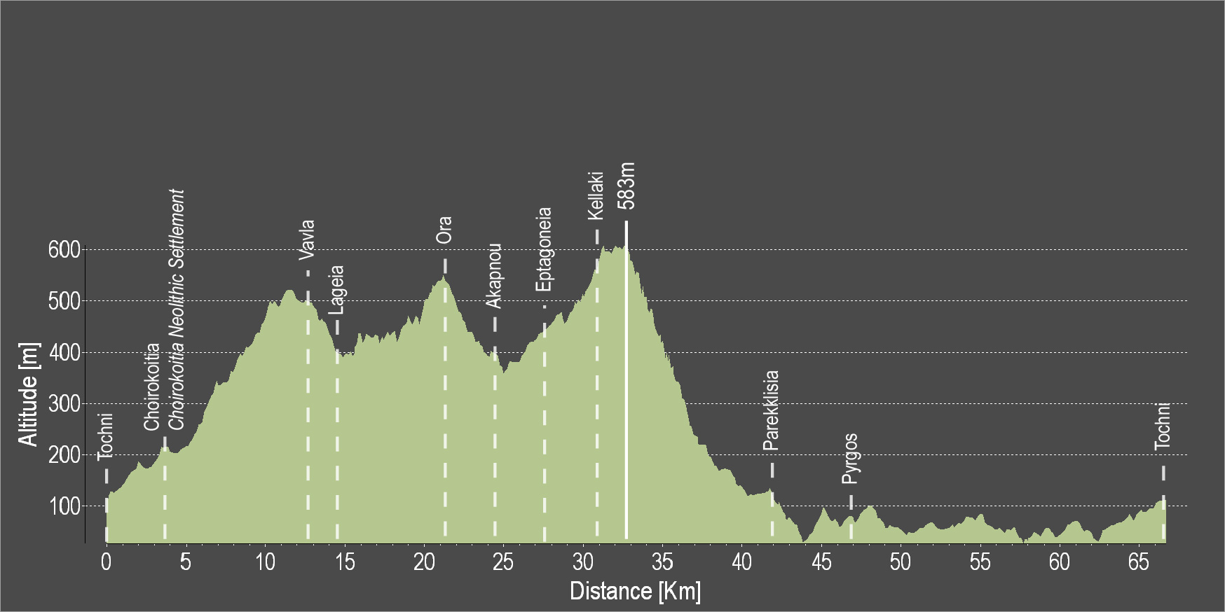
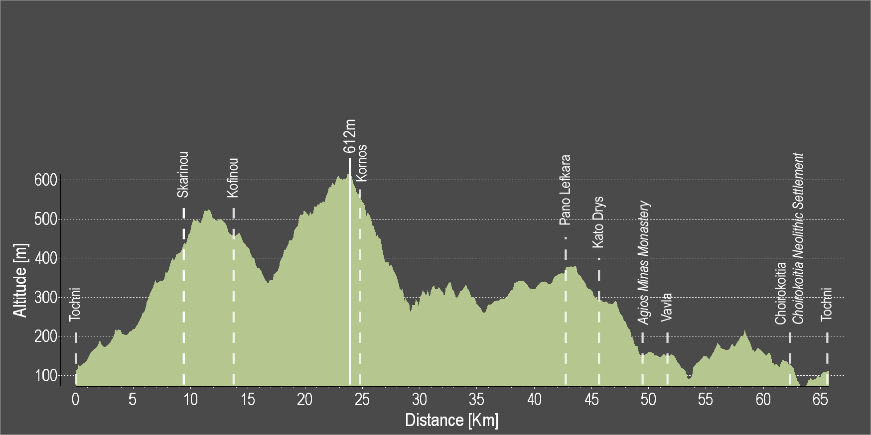
| Distance: | 56.8km |
| Elevation Gain: | 1299m |
| Highest point: | 863m |
| Lowest point: | 142m |
| Loop: | YES |
| Terrain: | Mountain |
| Road surface: | Paved |
| Section Distance (km) | Total Distance (km) | |
| Skarinou | 0.0 | 0.0 |
| Pano Lefkara | 15.2 | 15.2 |
| Terra Oliva Organic Olive Farm | 1.3 | 16.5 |
| Vavatsinia | 8.5 | 25.0 |
| Agioi Vavatsinias | 7.0 | 32.0 |
| Ora | 2.7 | 34.7 |
| Lageia | 6.7 | 41.4 |
| Vavla | 1.9 | 43.3 |
| Choirokoitia | 8.9 | 52.2 |
| Choirokoitia Neolithic Settlement | 0.0 | 52.2 |
| Skarinou | 4.6 | 56.8 |